Expert Surveying Services for Every Need
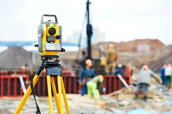
We offer a wide range of Surveying services, including Surveying, Construction and GIS/LIS Consultant. We use the latest technology to ensure that our surveys are accurate and meet all applicable standards.
Ask me about...
Land Charting
Land Surveying
Land Title Documentation
Land Sales
Effortlessly Verify Your Land Status!
Explore the ease of accessing government registries through our land charting service.
A Little About Us
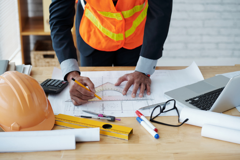
Geodhabil is a leading provider of GIS/LIS technology, land surveying, drone mapping, real estate, construction, project management, and land documentation services. We are committed to providing our clients with the highest quality services and products to help them succeed in their businesses. Our team of experienced professionals has a deep understanding of the Nigerian market and is able to provide tailored solutions to meet the specific needs of our clients.
Our mission is to revolutionize the surveying landscape by seamlessly integrating cutting-edge technology with industry expertise. We are committed to providing unparalleled services that cater to a diverse range of sectors, including real estate, construction, GIS/LIS consulting, and more.
Our Services Include:

Surveying
Our surveying expertise is founded on cutting-edge technology and experienced professionals. We excel in land surveying, delivering precise data for land development, construction, and property boundary assessmentsWe consistently provide comprehensive insights to support informed decision-making.

Real Estates
Our expertise in real estate is comprehensive, spanning both residential and commercial properties. We excel in market analysis, property valuation, real estate development, investment strategies, property management, and real estate law. We also make sure that our clients receive the most up-to-date advice and guidance
Construction
With a wealth of expertise in construction, our capabilities encompass a wide spectrum of services. Our commitment to excellence and dedication to quality craftsmanship sets us apart in the construction industry, making us a trusted partner for all your construction needs.
Experience Quality Surveying Service in Nigeria

Drone mapping for Land survey and Enviromental Asessment.
Our team is skilled in delivering high-quality residential, commercial, and industrial projects.